- DMV Weather
- Posts
- Severe weather threat Monday
Severe weather threat Monday
Rudie Verougstraete
March 14, 2026
A potent cold front will cross the region on Monday, sparking showers and storms throughout the day, some of which will be severe with damaging wind gusts to 60 mph, hail, and isolated tornadoes due to moderate wind shear in place. The timing of the stronger storms would be after 2pm along the I-95 corridor, and end around the dinner hour or just before.
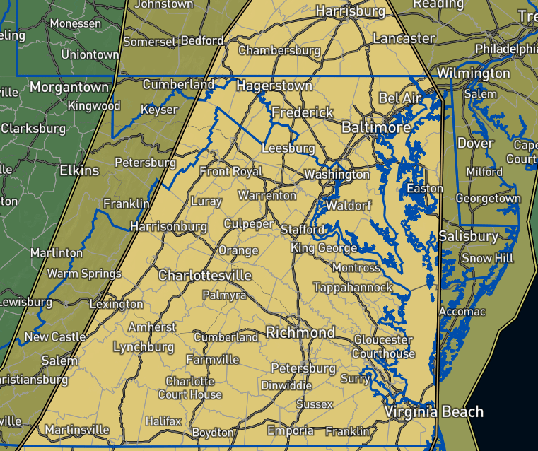
Severe weather outlook map highlighting central Virginia for an elevated risk of severe storms
Much cooler air rushes in behind the front with highs only in the 40s Tuesday and Wednesday, and lows in the upper 20s Wednesday morning. We will warm up again late week but not as toasty as we were this past week.